This hike is located along Highway 93, south of the Hoover Dam in Lake Mead National Recreation Area, about 38 minutes southeast of Las Vegas. Hiking distance is 2.5 mile to the Liberty Bell Arch and additional 0.5 mile to Black Canyon Overlook.
Liberty Bell Arch Hike Map
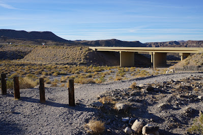
The trail follows the White Rock wash.
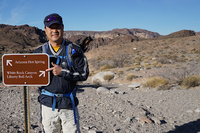
Trail sign: Liberty Arch
The trail runs down White Rock Wash
On trail, upper mine area with cable-car ore chute
Trail switchbacks
View of the Mike O'Callaghan-Pat Tilman Memorial Bridge.
Liberty Bell Arch
We've made it.
Continue climb to Black Canyon Overlook
Arrive Black Canyon Overlook: 1,000 feet down
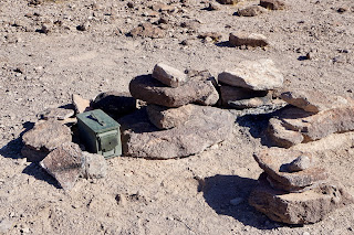
Summit Register at Black Canyon Overlook
Black Canyon Overlook Summit - Elevation 1,707 feet, cumulative distance is 2.79 mile. Incredible hike. Great panoramic views the entire way.


